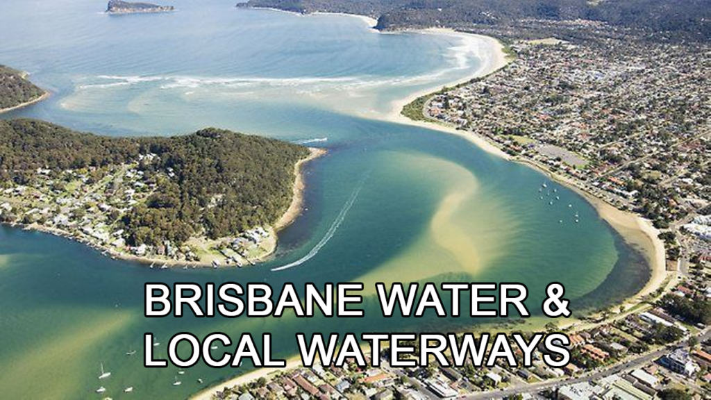
Brisbane Water was named after Sir Thomas MacDougall Brisbane, Governor of N.S.W. between 1821 and 1825. The naming of Brisbane Water was contemporary with, but not necessarily connected to, the arrival of James Webb, the district’s first white settler at The Rip in 1823.
It is a mostly shallow tidal bay located at the southern end of the Central Coast of New South Wales, approximately 17nm by sea and 75km by road from Sydney. It is entered from Broken Bay, over an ocean bar located near Little Box Head.
Vessels may enter Brisbane Water from Broken Bay through the ocean bar at Little Box Head. The entrance is narrow, relatively shallow but well-marked and safe, except if a strong southerly is blowing. Once the bar is cleared Lobster Beach is to the east.
Follow the narrow channel carefully to Half Tide Rocks and do not miss the dogleg around the navigation markers or you will find yourself aground.
The city of Gosford is found at the most northern extent of Brisbane Water. Brisbane Water contains several islands and is rich in aquatic life, including sea weeds, mangroves, oysters, and a good population of various species of fish.
Along its foreshores, travelling north you will pass Ettalong, Wagstaffe, Pretty Beach, Hardys Bay, Booker Bay, The Rip and its bridge, Daleys Point and St Hubert’s Island (to the east), Blackwall then Woy Woy (to the west), through Paddy’s Channel to the Broadwater.
As you progress north you will pass Noonan’s Point, TS Hawkesbury and the Marine Rescue Base at Point Clare (west) and to the east, Gosford Sailing Club, finally reaching Gosford Boat Harbour and the Gosford Visitor Wharf.